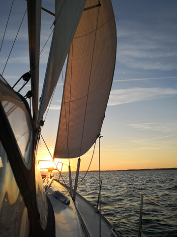
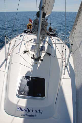
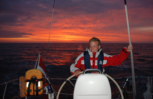
Heading Juelsminde in the waters north of Aebeloe, we are sailing directly into the sunset. You can hardly imagine a more beautiful evening at sea.
Credit: M. Skafte
The summer holidays this year were extremely warm compared to normal.
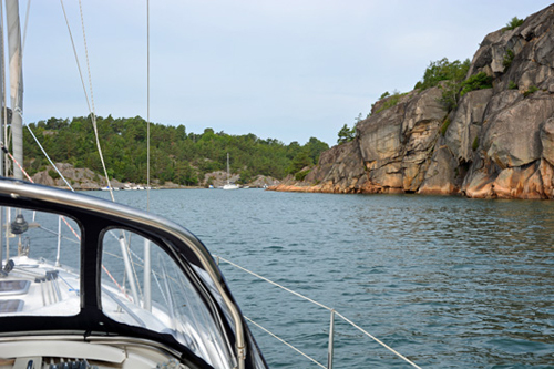
We set course for the archipelago on the Swedish west coast.
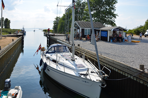
First stop was Oer Maritime Ferieby near Ebeltoft. The port call is made through one of the few sluices in our country.
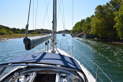
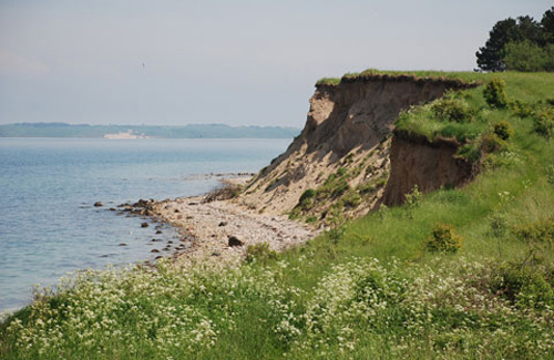
The Swedish archipelago on the west coast consists of calm waters surrounded by beautiful cliffs - with several narrow streams to pass.
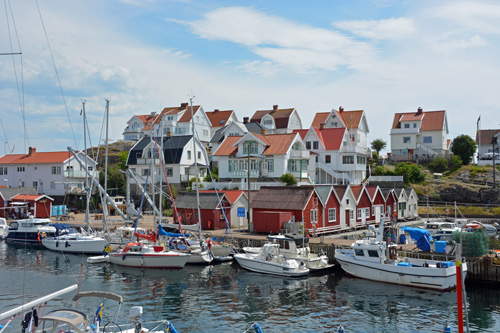
A nice, quiet island north of Marstrand. The residential areas embraces the port in a horseshoe formation.
The destination for this years summer voyage was Rugia in the northeastern part of Germany, almost 200 nautical miles away. On the way over, we visited fine ports like Kappeln, Heiligenhafen and Warnemünde.
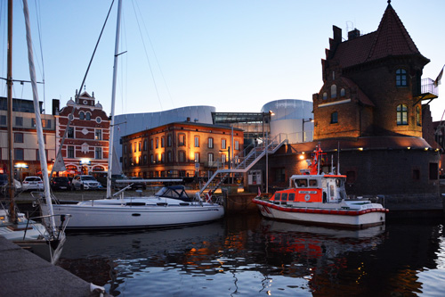
On July 8th, we left Warnemünde early in the morning and moored in Stralsund after almost 10 hours of sea travel in the Baltic.
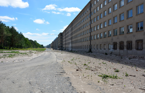
From approx. 1950 thru
1992 the complex served as barracks for 8,000 soldiers stationed by the DDR.
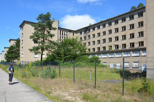
Recently, several development projects with numerous private appartments and a hostel has been completed.
Most of the gigantic building complex remains to be developed and renovated, though.
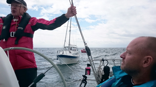
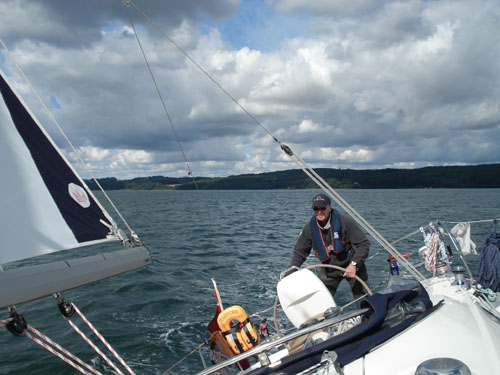
Shortly after departing for an afternoon trip with a few friends, we received a distress signal from a ship with damaged rudder.
In an action coordinated
with Lyngby Radio, the Danish JRCC and the SAR vessel Andromeda,
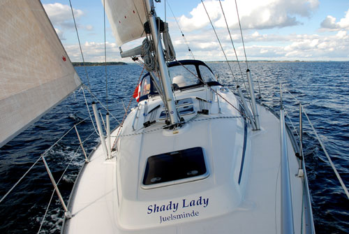
Shady Lady towed the damaged ship to Juelsminde.
Credit: Ole Bøg-Jensen
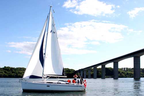
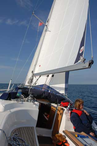
This years Rotary trip from Vejle to Brejning offered a massive downwind outbound. The return trip upwind was done by engine in bright sunlight with high spirits onboard.
Credit: Jens Find
Heading home in a fair wind after a short visit on the small island Hjarnoe.
We went around Sealand on our summer cruise this year.
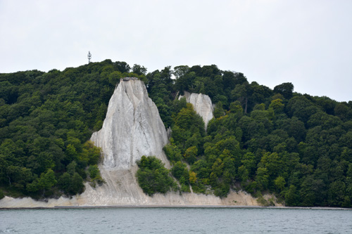
With the White Cliffs of Moen in sight, we crossed the Bight of Fakse doing 7,5 knots - the optimal cruise speed of the ship.
Going upwind and upsea by engine in the waters north of Funen.
Going upwind towards Tunoe, a small Island between the northern part of Samsoe and Jutland.
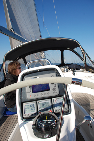
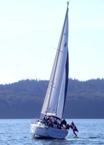
One of this seasons first cruises went to the small island Endelave east of Jutland.
The 13 nautical miles were done in a little more than two hours - even with both sails reefed.
Our task is to test a new concept of electronic charts.
Provided that the
authorities decides to complete the project, we may see the first release
during 2015.
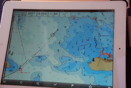
The software has been developed by the Swedish company Seapilot and offers a very friendly user interface.
When connected to the Internet, the charts are enriched with AIS ship information and updated five day weather forecasts.
The charts will be updated online regularly.
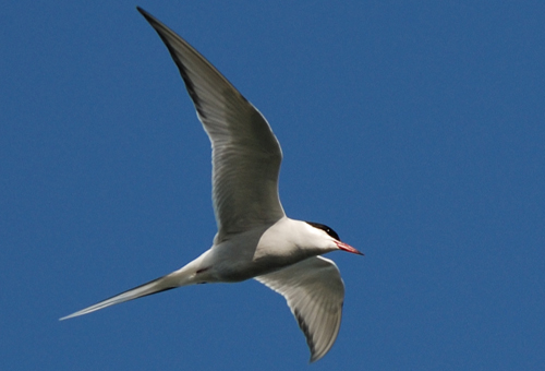
This tern is hovering the harbour looking for live food.
The turning point this summer was Flensburg.
2012 turned out to be the wettest and shortest summer vacation at sea so far.
A scent of midsummer evening in Middelfart.
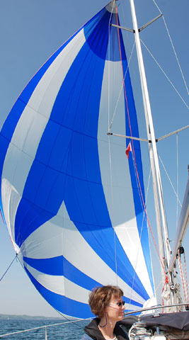
Heading home towards Vejle
from Juelsminde, we had a great opportunity to try out the 66 sq m brand new
gennaker for the first time.
Approaching Vejle after a weekend trip to Bogense.
Credit: Preben Werther
Credit: Preben Werther
The final trip this season was a gentlemen's weekend tour aimed at Bogense.
Heading south in Aalborg Bight half an hour after sunset.
Heading south in Aalborg Bight.
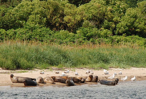
A flock of seals enjoying the sunlight in Vilsund.
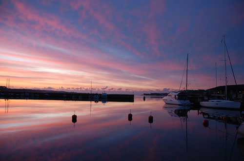
Sunset in Lemvig.
Racing towards Jegindoe in a fresh breeze.
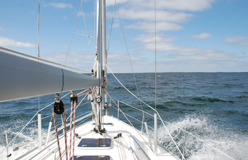
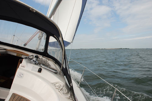
A touch of wind on the Inlet of Vejle.
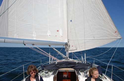
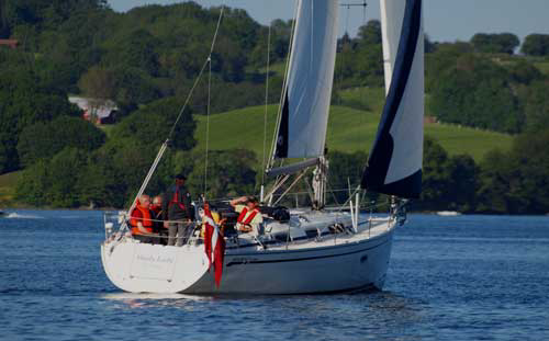
Shady Lady is the leader of the fleet in the annual boat trip for the Vejle South Rotary club.
Credit: Lars Winther
Credit: Anders Nielsen
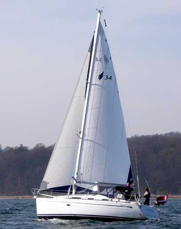
The fine crew on S/Y Dehlfin took this picture right after a tack to starboard heading east on Vejle Fjord.
Credit: Anders Johansen
West of Samsø heading south towards Kerteminde.
Doing 7 knots while crossing by the wind through Båring Vig.
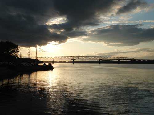
Sunset in Little Belt. The old bridge was built in 1935.
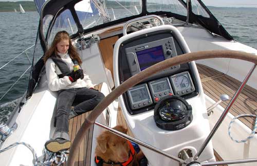
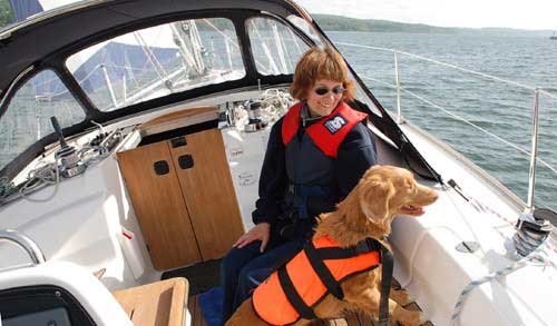
The ship's dog had her first assignment on board in the weekend around Ascension Day.
It may take a little while to get used to the heeling of up to 25 degrees.
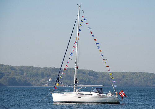
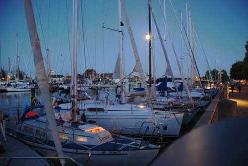
Dressed in signal flags from bow to stern over top, Shady Lady was a part of the annual season opening ceremony at the SNV yacht club.
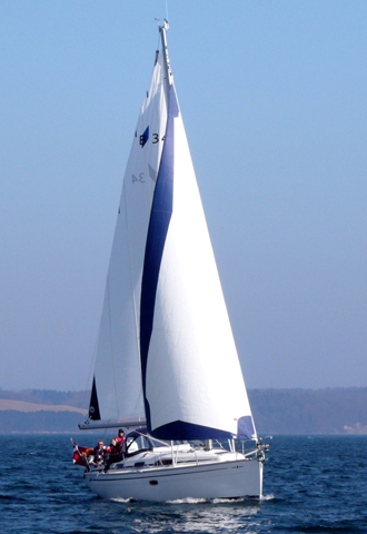
Our first trip this season was captured by the distinguished crew of S/Y Dehlfin of Vejle. We are most grateful for the pictures.
Credit: Anders Johansen
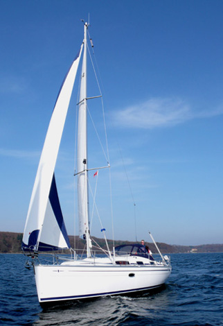
Credit: Anders Johansen
Credit: Anders Johansen
Credit: Anders Johansen
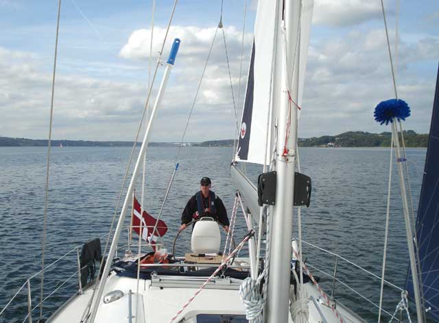
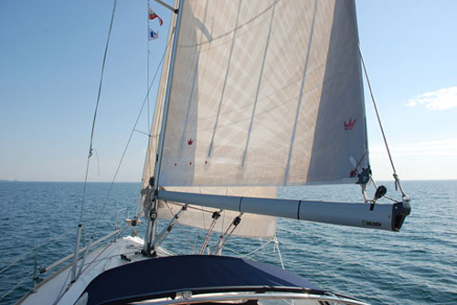
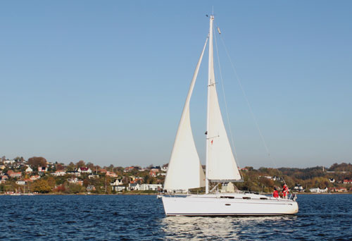
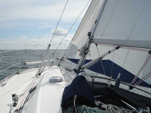
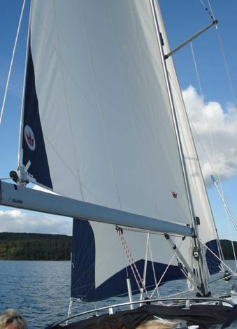
Testing the brand new high tech sails on the Vejle Fjord.
August 30th 2008
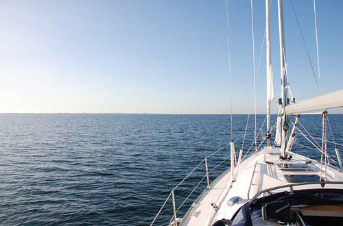
On our way home from Tunø to Vejle. Almost no wind at all, so the engine is doing most of the work.
South of the island Endelave.
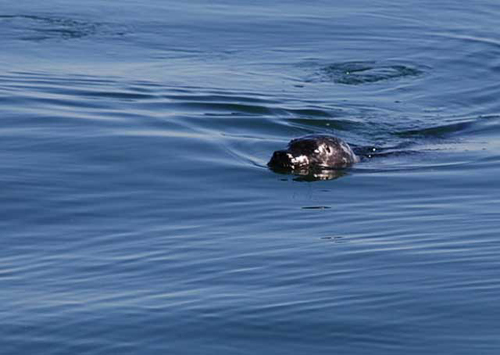
Wind speed close to zero. There were a lot of seals to study.
August 29th 2008
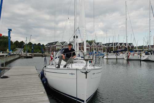
Egaa
Marina near Aarhus. The ship was handed over to us just before noon. We
spent a few hours preparing her for the virgin voyage.